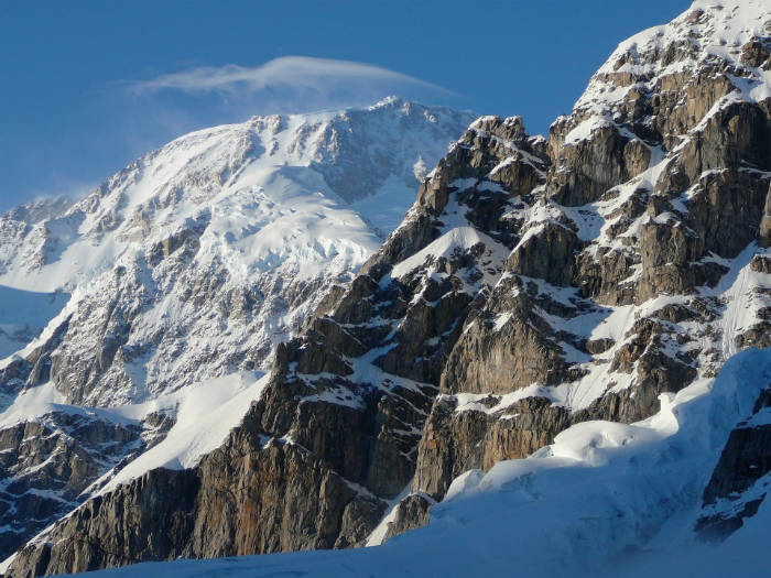
Scientist and former University of Alaska Fairbanks faculty member Matt Nolan is reaching new peaks in precision mapping of Denali. Using a single-engine airplane, Nolan weaved through Denali’s topography using a GPS system and fodar, the combined measurement of color and surface elevation from a digital camera.
According to Nolan, previous maps were only accurate within 50 feet and seasonal snowmelt affected precision. His new system allowed him to measure Denali from top to bottom within six inches of accuracy. His most recent measurements calculate Denali’s south peak at a height of 20,308.6 feet.
Learn more here.
– Megan O’Malley, The Alaska 100


